
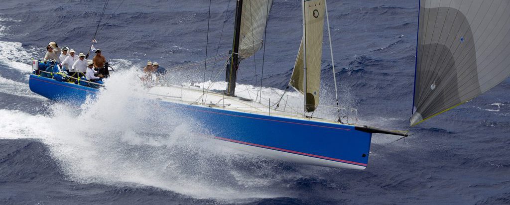
The Express 37 yacht Juno finished first in Division 8 and 14th overall in the 2023 Transpac race from Los Angeles to Oahu. Skippered by Dan Merino, the Juno team used Bluewater Racing as its tactical navigation and race management
Version 2.50 Available
Version 2.45 Available
Version 2.40 Available
Version 2.40 adds support for AIS, the nautical Automatic Identification System. If you have AIS data available on a NMEA 0183 stream (from a serial port or TCP connection) the program will display targets on the main chart window. In
Version 2.30
Enhanced interface to instruments, updates to planning displays.
Why does the optimizer produces routes that seem to go upwind?
This is a fundamental point in understanding how the calculations made by the program relate to how you would actually sail a course. If you enter a route into the program manually, you are telling the program the exact route
Version 2.10
Major rewrite of Polar Manager, move to Bluewater-specific .plr file format. Expedition/Deckman still supported. Sailonline polar files are now supported. Substantially more editing functions added to Polar Manager. Route manager modified to combine routes and marks into one display tree.
Version 1.80
NMEA input revised to be more robust.
It looks like the optimizer has created routes over land.
Normally, if you attempt to optimize a route between two points on water (whether ocean, lake, or pond), Bluewater Racing will limit the route to that body of water. It will not route your vessel across land. Sometimes, however, the
Version 1.70
Optimization is now substantially faster. Added options to control date format and ETE format in route manager and route details windows.