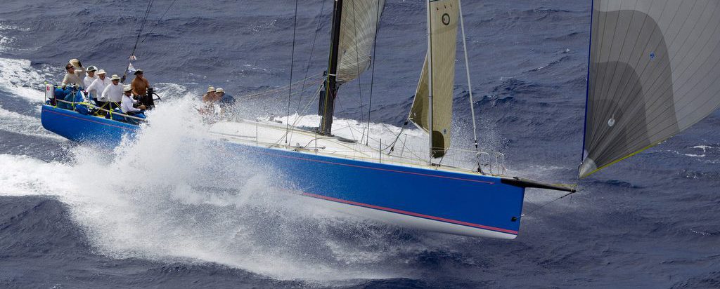
The Hobie 33, skippered by Simon Garland with navigator Jeff Westbrook, corrected out six hours ahead of its nearest competitor to take the Division VI trophy.
Peregrine Wins Transpac 2011 Division VI Using Bluewater Racing


A Free Planning Tool For Sailboat Racing and Cruising
The Hobie 33, skippered by Simon Garland with navigator Jeff Westbrook, corrected out six hours ahead of its nearest competitor to take the Division VI trophy.
Enhanced support for NMEA instruments. Updater is now silent during updates. Bug fixes: When sorting route manager entries by column, colors of routes were lost. Repaired bug in gribDescription.tcl popup for cloud cover. Performance functions will no longer erroneously use
This error can occur for several reasons. You have specified one or more route points that are actually on land. The router will not route over land. To see exactly where your route points are located, from the program’s point
A port to Mac OSX has been in the works for a while but there are still little sticky issues. A beta version with not all functionality perfect may be available upon request. Please send a request through the Contacts
Automatic update checking now included. Printing of route details.
Added improved undo/redo capability and file autosaving. Extended optimization to routes in lakes and ponds.
Planning chart updated to GSHHS Version 7. Added political boundary, river, and world port index data to the planning chart. By default only ports are shown. Optimizations can now be canceled while running. Made performance code reentrant, to avoid bug
This is the first major release to the public.
To communicate with the GPS, you have to tell Bluewater Racing where the GPS is plugged into the computer, and what communication protocol the GPS is using. The communication port and protocol can be set from tools->preferences->gps. The GPS will
The software doesn’t directly support routes that span the date line. To work around this, you can split your route into two portions, one on each side of the date line. You are forced to chose the point on the